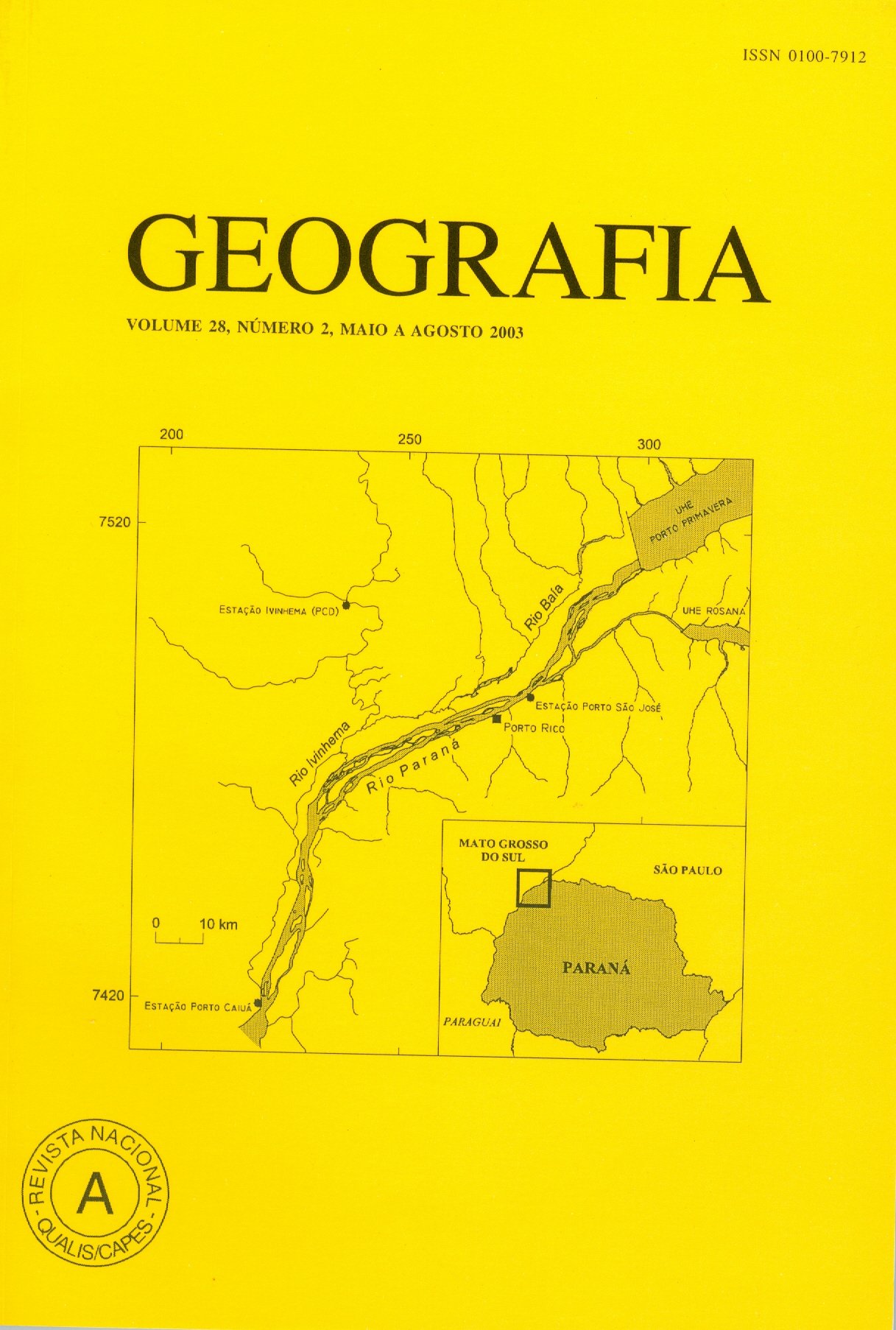
Analisys of the floods regimen of Paraná and Ivinhema rivers, in the Porto Rico region, of Paraná state
Abstract
The Porto Rico region, in the Paraná State, between Paranapanema and Ivinhema rivers, is the last passage of Paraná river free of dams. However, it is placed just downstream of Rosana’s dam (Paranapanema river) and Porto Primavera’s dam (Paraná river). In this region, the flood regimen of the Paraná and Ivinhema rivers werecharacterised by using the methodological proceedings developed by Lambert (1990) and Lambert et al. (1998). This author proposed a probabilistic research of the observed floods. Using water levels data from Porto São José and Porto Caiuá gauging stations (at Paraná river) and from Ivinhema gauging station (at Ivinhema river), the monthly distribuiton of the floods was determined. Later on, the frequence of each flood record was also determined. The results show that, for the three gauging stations, the floods are concentrated mainly during summer, changing the month with the largest amount of floods, and the month with the largest floods. In each of these three stations, there are two important fluviometric levels: the overflow level, where the water starts to flow inside the floodplain, and the level of flood. Key words: Paraná River; Ivinhema River; fluvial geomorphology; floods.Downloads
Published
Issue
Section
License
The authors maintain the copyright and grant GEOGRAFIA the right of first publication, with the articles simultaneously licensed under the Creative Commons BY 4.0 License, which allows sharing and adapting the articles for any purpose, as long as appropriate credits and provisions of image rights, privacy or moral rights. Other legal attributions can be accessed at: https://creativecommons.org/licenses/by/4.0/legalcode.en.
Geography, Rio Claro, SP, Brazil - eISSN 1983-8700 is licensed under the Creative Commons BY 4.0 License.


