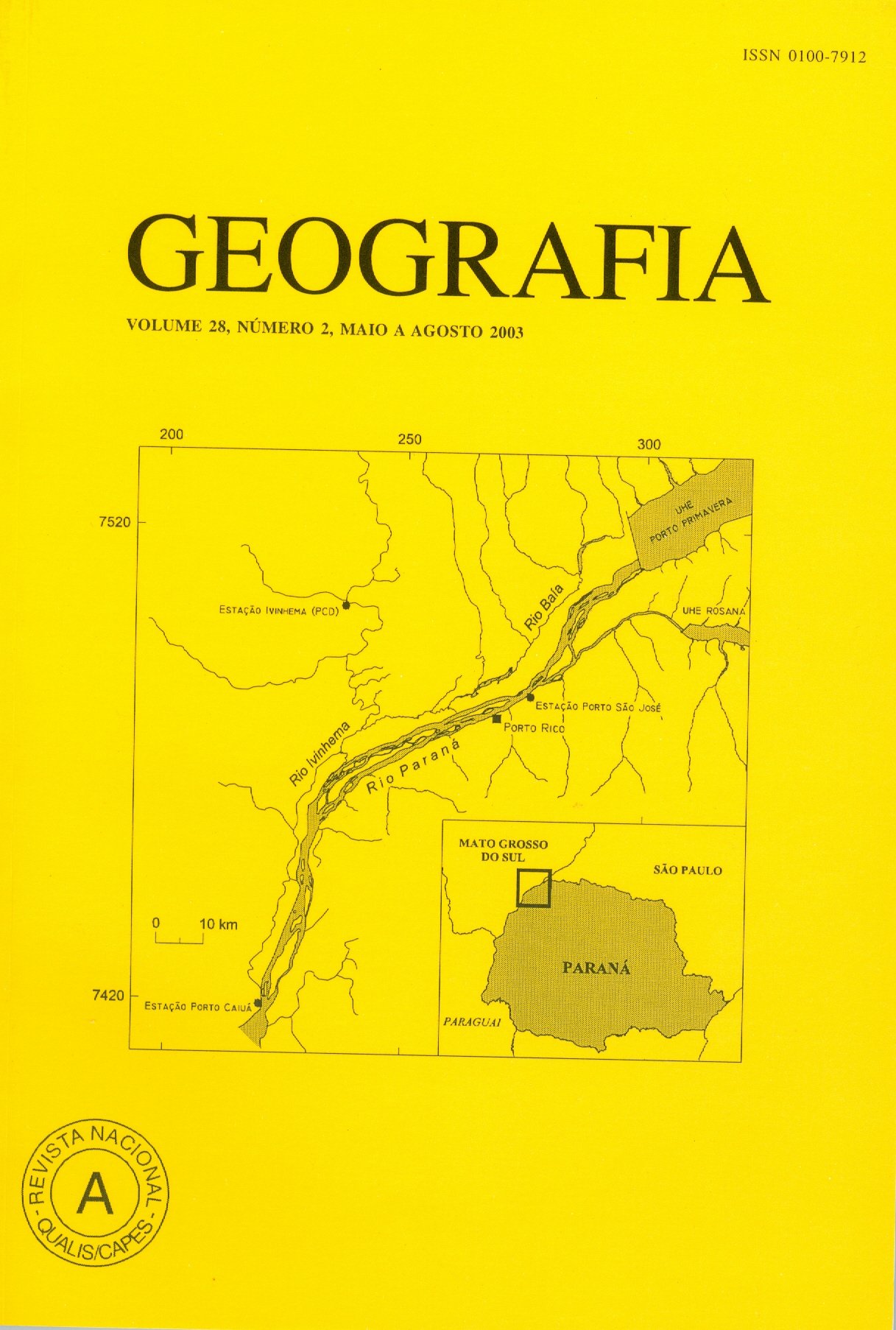
Quantitative morphology of ponds, Taquaruçu region (Mato Grosso do Sul state)
Abstract
The studied area is located in the state of Mato Grosso do Sul, and it is divided in two geomorphologycal units: the Taquaruçu Unit with 745,06 km2 and the Córrego Bandeirantes Unit with 473,84 km2. These units, of fluvial origin are characterized by the presence of a large number of ponds of varied sizes are forms. The Taquaruçu Unit shows general dipping from NNE to SSW. It is located between 350 and 250 m of elevation. There are 85 ponds, whose diameters vary from 5.700 to 3.800.000 of meters. In the Córrego Bandeirantes Unit 150 ponds have been mapped, whose diameters vary from 24.000 to 8.600.000m. These populations were submitted to statistical treatment, where mean, standard deviation, variation degree and standing test were calculated for the ponds data. The circularity index of each pond was calculated from its area and perimeter. The results show that the areas and perimeters are statically similar, whereas circularity index is significantly different. The distributions made for the indexes show that 67% of Taquaruçu Unity ponds and 82% of the Córrego Bandeirantes Unity are very prolonged, while 12% of the former and 3% of the second possess circularity as good to low. Key words: Geomorphologycal Units; Ponds and Circularity Index.Downloads
Published
Issue
Section
License
The authors maintain the copyright and grant GEOGRAFIA the right of first publication, with the articles simultaneously licensed under the Creative Commons BY 4.0 License, which allows sharing and adapting the articles for any purpose, as long as appropriate credits and provisions of image rights, privacy or moral rights. Other legal attributions can be accessed at: https://creativecommons.org/licenses/by/4.0/legalcode.en.
Geography, Rio Claro, SP, Brazil - eISSN 1983-8700 is licensed under the Creative Commons BY 4.0 License.


