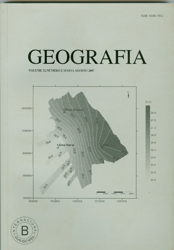
Guararapes urban climate: winter and summer episodes
Abstract
The Guararapes county is located at northwestern of São Paulo state, Brazil (21º16’35”S; 50º37’00”W and elev. 398m). It was tried to assess likely thermal and hygrometric contrasts between a densely built area and a rural one on the vicinity of this town, in order to investigate if the urbanization process had undergone some climatic change. It was intend also to understand what mechanisms had dominated over weather conditions genesis during winter and summer representative days, in these areas with different land use and occupation characteristics. Three points were select to meteorological mini-shelters installation (urban area, rural area and the local water treatment facility), where dry and wet bulb temperatures were collect in order to relative humidity estimation and wind direction and speed were estimated by the Beaufort scale and a satin ribbon tied upon the mini-shelter. The field work was fulfilled during 15 days in the summer season (december/2004) and 15 days in the winter season (july/2005), at nine, fifteen and twenty one hours (local time). The highest differences occurred mainly during theDownloads
Published
Issue
Section
License
The authors maintain the copyright and grant GEOGRAFIA the right of first publication, with the articles simultaneously licensed under the Creative Commons BY 4.0 License, which allows sharing and adapting the articles for any purpose, as long as appropriate credits and provisions of image rights, privacy or moral rights. Other legal attributions can be accessed at: https://creativecommons.org/licenses/by/4.0/legalcode.en.
Geography, Rio Claro, SP, Brazil - eISSN 1983-8700 is licensed under the Creative Commons BY 4.0 License.


