
Vegetation cover and land use mapping handling NVDI images, aerial photographs e Digital Elevation Model: case study applied to material removal project along to Rio Sorocaba small portion.
Abstract
This is part of a material removal project related to Sorocaba river which is located in the urban area of northern Sorocaba city (SP). The material removal engineering project is important to minimize the urban flood problems which are often mainly in summer time. Before the project initialization, it is necessary a vegetation cover and land use characterization. A NVDI (Normalized Difference Vegetation Index) image was generated from Landsat-7 ETM+ data to perform this evaluation. Specifically in the interested river part, aerial photographs in 1: 30000 cartographic scales were used. The aerial photographs were geometrically corrected and were connected into mosaics. Later, a 50 meter river stream was mapped based upon photointerpretation technics. Area measures were extracted of each class (forest, grass field/cattle field, agriculture, bare soil, residential use, industrial use and water bodies) to help not only in the environmental impact analysis but also in the engineering planning. The Digital Elevation Model (DEM) was incorporated in this work to extract altitude and slope parameters which are very important to map flood and runoff erosion risks areas. Key words: Mapping. Remote sensing. Aerial photographs. Vegetation cover. River material removal. Sorocaba river.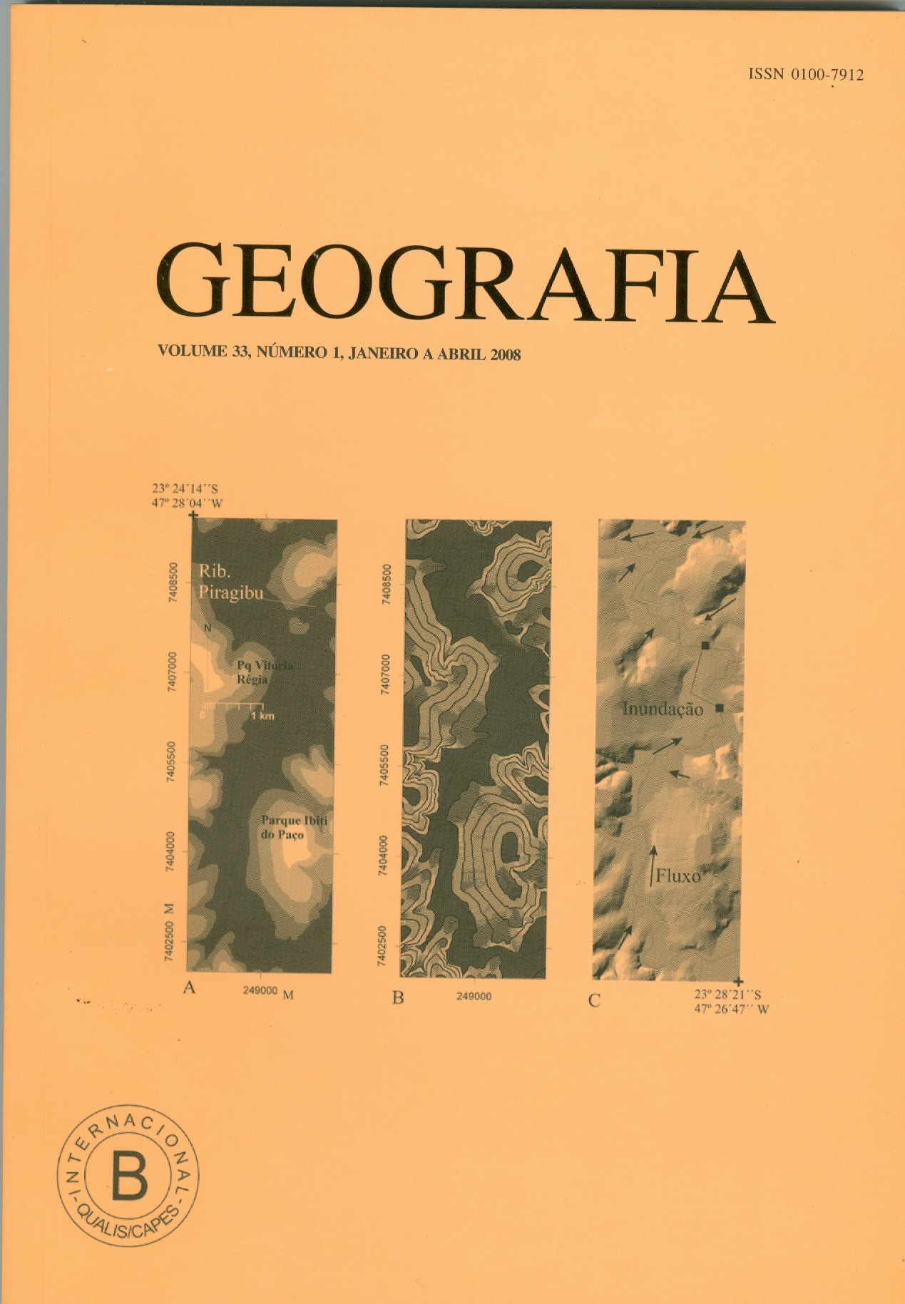
Downloads
Published
2008-10-16
Issue
Section
Article
License
The authors maintain the copyright and grant GEOGRAFIA the right of first publication, with the articles simultaneously licensed under the Creative Commons BY 4.0 License, which allows sharing and adapting the articles for any purpose, as long as appropriate credits and provisions of image rights, privacy or moral rights. Other legal attributions can be accessed at: https://creativecommons.org/licenses/by/4.0/legalcode.en.
Geography, Rio Claro, SP, Brazil - eISSN 1983-8700 is licensed under the Creative Commons BY 4.0 License.


