igital processing of multitemporal Landsat-5 TM and JERS-1 SAR images for mapping and monitoring disturbed areas in the Amazônia
Abstract
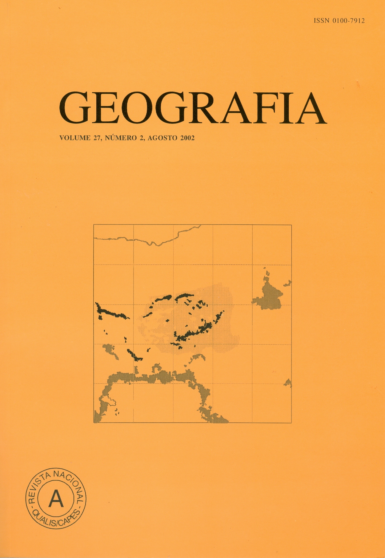
Landsat-5 TM and JERS-1 SAR images were used to map and monitor areas of anthropic disturbance in the region of the Tepequém plateau and surroundings, Brazilian Amazônia. The study area, performing approximately 400 km2, is covered by tropical rain forest and savanna grassland. Part of the vegetation cover has been continuously replaced by cultivated areas (agriculture and pastures), and disturbed by independent gold mining activities. For the development of this work were used Landsat-5 TM images (acquired in 1987, 1991, 1994, and 1996) and JERS-1 SAR images (acquired in 1993, 1994, and 1996). Landsat-5 TM images were converted to soil, vegetation, and shade components, through a spectral linear mixture modeling. An approach based on image segmentation, region-classification, and map-editing techniques was used to map degraded areas. Over the period, the results showed an increase from 341 hectares to 1,986 hectares in the deforested areas due to agricultural activities in the forested terrain. Concerning to the areas disturbed by mining activities, predominant in the savanna grassland areas, it was identified an increase of 94 hectares to 537 hectares, over the same period. JERS-1 SAR images were investigated as an attempt to supply information referent to the years in which Landsat-5 TM images could not be used, due to the presence of cloud cover. Contrast stretched SAR images were able to detect only recent clear cut and areas under regeneration process in the domain of the rain forest. They do not provide any information regarding areas of gold mining activities in the savanna grassland domain. However, such information was only partially provided by the generation of difference images between different dates. The adopted procedure showed to be very efficient for the case of the Landsat images, producing very accurate maps. Although this procedure has been applied in a small region, it is applicable to map and monitor broad region in the Amazônia. Key words: Remote Sensing, Deforestation, Mining Activities, Image Digital Processing, Landsat-5 TM, JERS-1 SAR.Downloads
Published
Issue
Section
License
The authors maintain the copyright and grant GEOGRAFIA the right of first publication, with the articles simultaneously licensed under the Creative Commons BY 4.0 License, which allows sharing and adapting the articles for any purpose, as long as appropriate credits and provisions of image rights, privacy or moral rights. Other legal attributions can be accessed at: https://creativecommons.org/licenses/by/4.0/legalcode.en.
Geography, Rio Claro, SP, Brazil - eISSN 1983-8700 is licensed under the Creative Commons BY 4.0 License.


