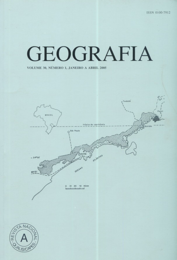
Mapping of susceptible areas to the agroecologic practice in core Picinguaba, “Serra do Mar” State Park, Ubatuba-SP
Abstract
This paper presents the mapping of susceptible areas to the agroecologic practice, using geoprocessing, for the caiçaras communities of Picinguaba (State Park). These caiçaras communities need economic alternatives to live in na area of Park, where there are diverse restrictions to their traditional activities. Key words: SIG; agroecology; conservation; parks; environmental analysis.Downloads
Published
Issue
Section
License
The authors maintain the copyright and grant GEOGRAFIA the right of first publication, with the articles simultaneously licensed under the Creative Commons BY 4.0 License, which allows sharing and adapting the articles for any purpose, as long as appropriate credits and provisions of image rights, privacy or moral rights. Other legal attributions can be accessed at: https://creativecommons.org/licenses/by/4.0/legalcode.en.
Geography, Rio Claro, SP, Brazil - eISSN 1983-8700 is licensed under the Creative Commons BY 4.0 License.


