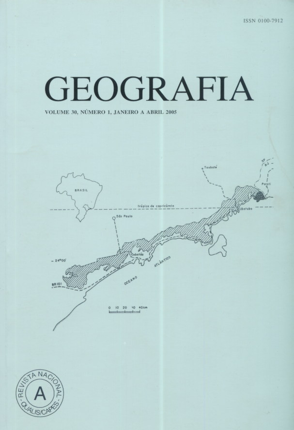
Methodologic reflexions on the use of the geometricals and topologicals index for space analysis of classified images from Landsat, case study applied to Ubatuba, SP, Brazil
Abstract
The new geography, appeared in the years 1960, directed research towards the quantified and quantifiable phenomena. The space analysis allow describing and quantifying the space properties of an area. Its objective is to show that the analysis of these properties is relevant to understand the characteristics of an area. It is based on two types of measurements, forms which concern geometry and the space relations between objects, which concern topology. The município of Ubatuba is the experimental site. The visual interpretation of the thematical charts from classifications of satellite image is not sufficient to analyse the space dynamics. Several geometrical and topological indices were used on the urban spot. These indices reveal the complexity of the forms, aggregation, connection and diversities of the urban spots. Although they indicate the structure and the geometry of the spots, only a contextual interpretation reveal the functional characteristics of the landscape. This interpretation shows the existence of a pioneer front of occupation in Ubatuba. Key-words: spatial analysis; space index; geographical object; remote sensing; urban areas.Downloads
Published
Issue
Section
License
The authors maintain the copyright and grant GEOGRAFIA the right of first publication, with the articles simultaneously licensed under the Creative Commons BY 4.0 License, which allows sharing and adapting the articles for any purpose, as long as appropriate credits and provisions of image rights, privacy or moral rights. Other legal attributions can be accessed at: https://creativecommons.org/licenses/by/4.0/legalcode.en.
Geography, Rio Claro, SP, Brazil - eISSN 1983-8700 is licensed under the Creative Commons BY 4.0 License.


